Fieldgate Geomatics is an indigenous geodetic and environmental sciences firm working the land, swamp and offshore terrain of the Niger Delta — from control surveys to bathymetry to GIS.
From dry land to open water, our teams carry the instrumentation and the registrations to do the work properly the first time.
Control establishment, perimeter, layout and topographic surveys across every Niger Delta terrain type.
Spatial data modelling, cartography and GIS architecture built for long-term use, not one-off maps.
Pipeline route surveys and site investigations, including EIA support, for oil & gas and infrastructure clients.
Bathymetric and pre-dredge sounding for access canals, creeks and terminal waterfronts.
As-built, PI/FP and construction-stage survey services alongside contractors and EPC teams.
Tell us the terrain and the deadline — we'll tell you what crew and instrumentation it needs.
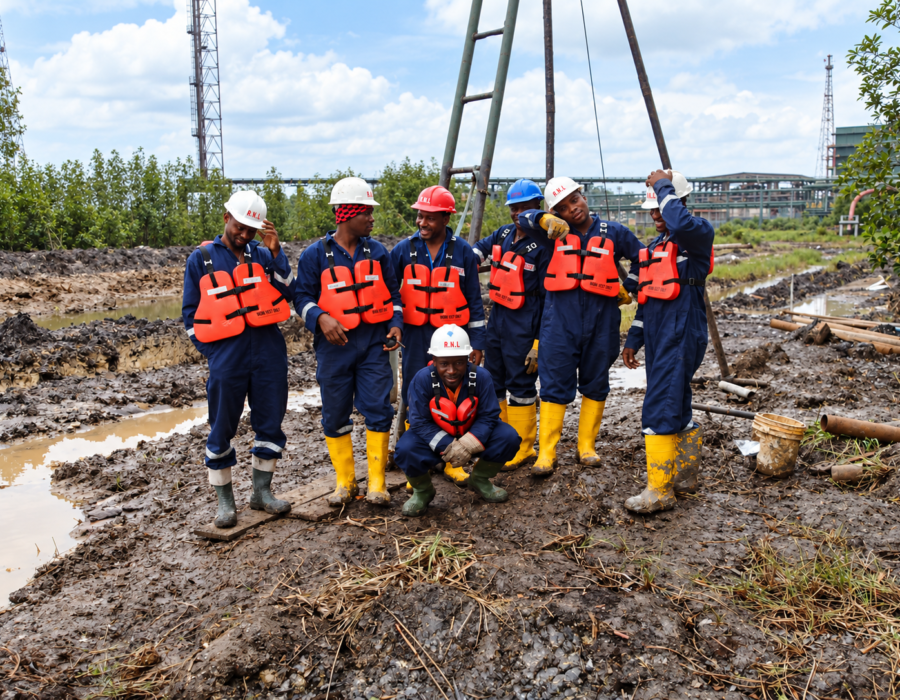
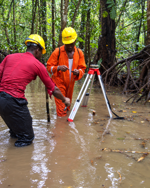
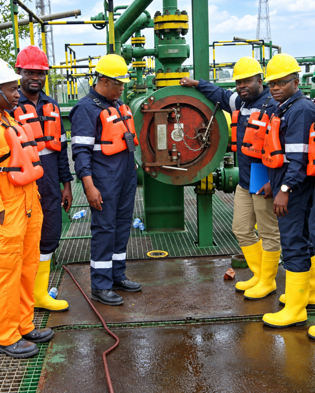
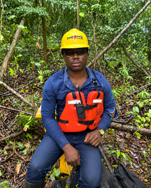
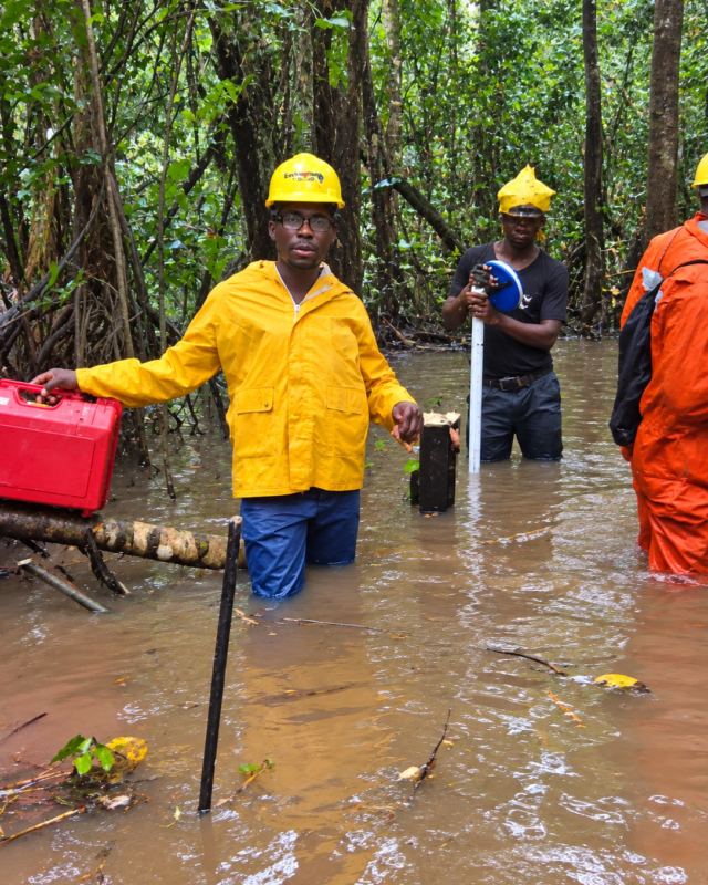
Contact us →Total stations in swamp water, bathymetric boats on the creeks, and crews suited up for the terrain — this is what a survey day looks like for us.
From oil & gas majors, state development authorities, to property developers — a sample of the organizations we've surveyed.






Whether it's a single land parcel or a 50km pipeline corridor, send us the terrain and the timeline and we'll scope the crew and instrumentation.