A record of commissioned work for NAOC, GPHCDA, SPDC and government-backed programmes across the Niger Delta and beyond.
| Project | Client | Duration / Year |
|---|---|---|
| Pre-dredge sounding & detailing, Nembe South 1, 2, 3 access canals – Bayelsa | NAOC | 7 days / 2019 |
| Pre-dredge sounding, Azazuma 4 location canal – Rivers State | NAOC | 7 days / 2019 |
| Bathymetric survey, Brass terminal access creek – Bayelsa | NAOC | 10 days / 2019 |
| Bathymetric survey, Ogbainbiri flow station waterfront – Bayelsa | NAOC | 7 days / 2019 |
| Aerial mapping of site for construction of saddle dams | Bezaleel + Turnkey | 1 month / 2020 |
| Hydrographic survey of Ibaka River channel | Solutions Hub Ltd | 1 week / 2020 |
| Topographic survey, proposed GPHCDA head office – New City, Igwuruta-Ali | Greater Port Harcourt City Development Authority | 14 days / 2019 |
| Topographic survey, proposed packaged waste water treatment plant – Omuoda Aluu | GPHCDA | 14 days / 2019 |
| Digital mapping services for land & swamp field projects, Niger Delta states | Nigeria Agip Oil Company (NAOC) | 2018-2019 |
| Baseline mapping & integrated watershed management system (GIS approach), Enugu State | SPMU / NEWMAP | 18 weeks / 2019 |
| Geotechnical survey, 18 inch x 50km oil pipeline, Ogbainbiri to Obama | NAOC | 35 days / 2019 |
| Geotechnical survey, proposed GPHCDA head office site – Igwuruta-Ali | GPHCDA | 25 days / 2019 |
| Topographic & geotechnical survey, 2.5km Odidi-Elps gas pipeline diversion – Delta State | Desicon Engineering Services / SPDC | 20 days / 2019 |
| Drilling of 8 motorised solar boreholes with overhead tanks, across 8 LGAs – Anambra & Enugu States | ATASP-1 (AfDB-assisted), Federal Ministry of Agriculture & Rural Development | 2019 |
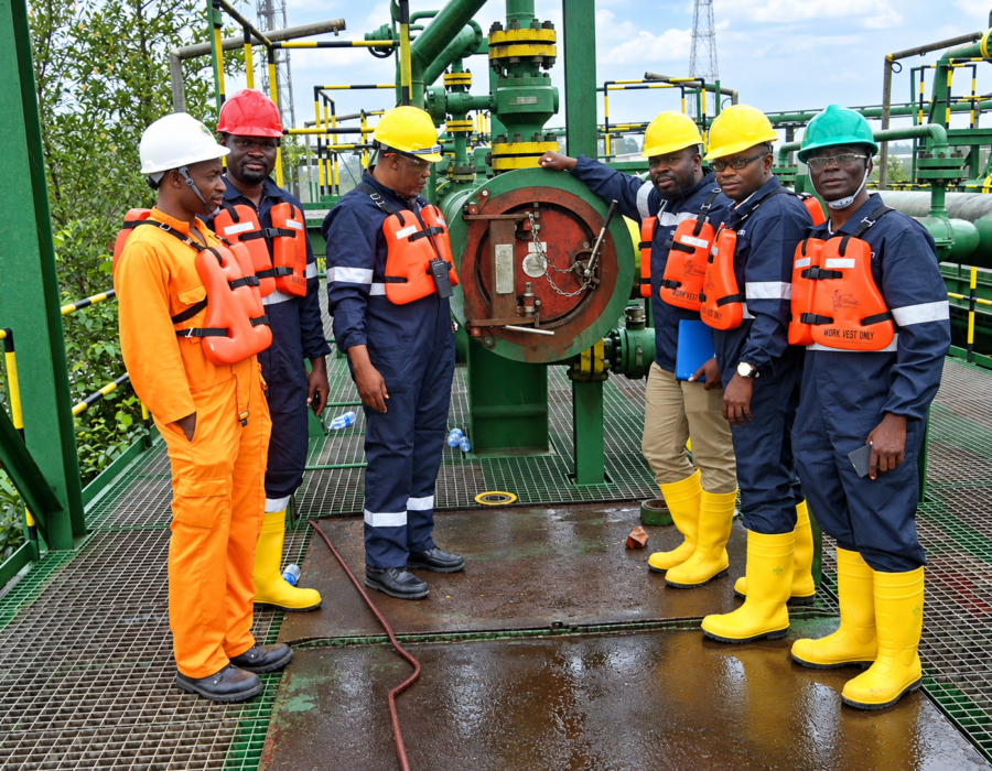
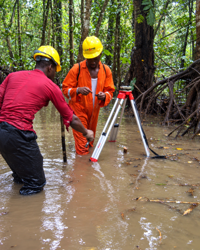
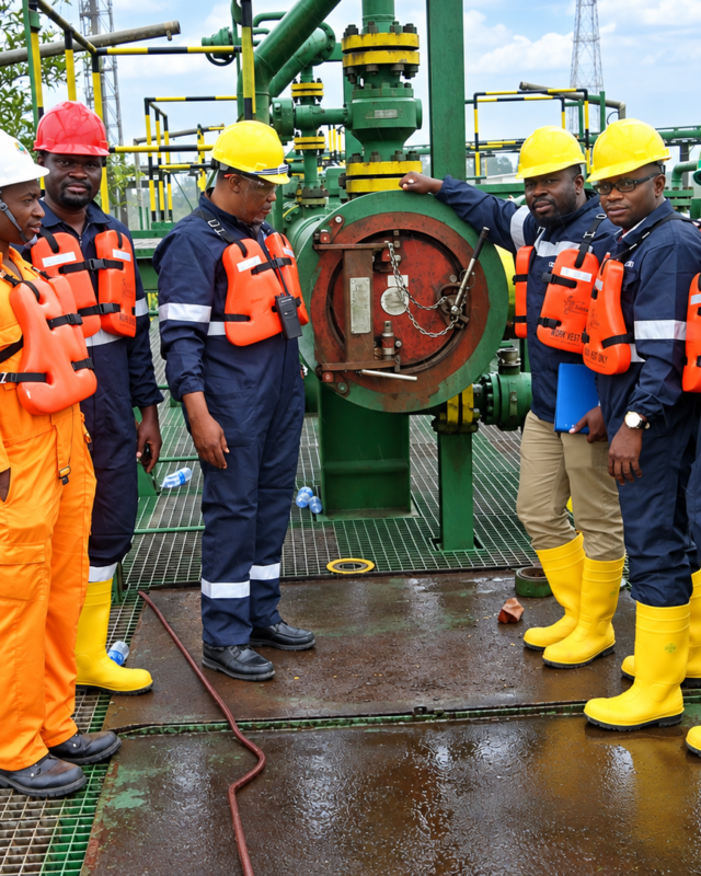
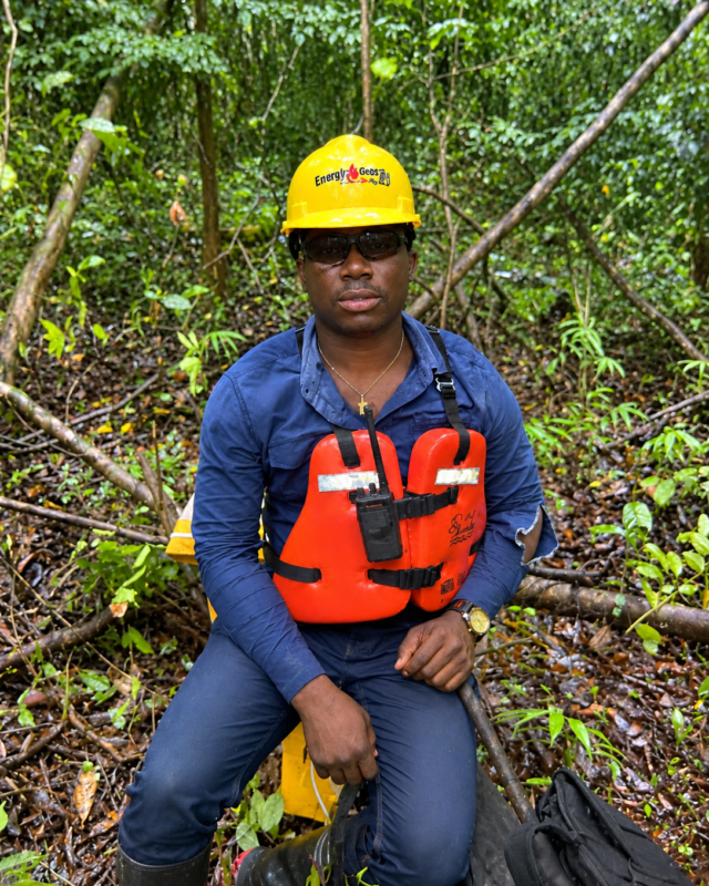
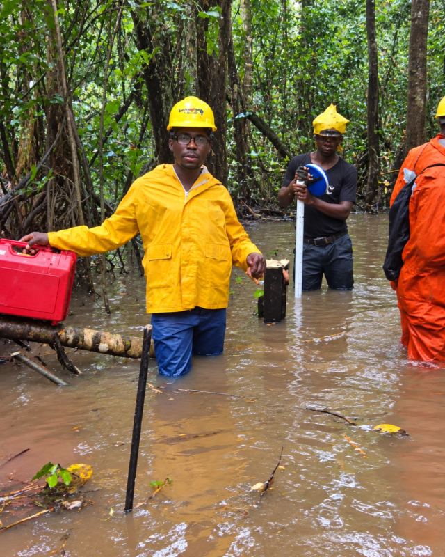
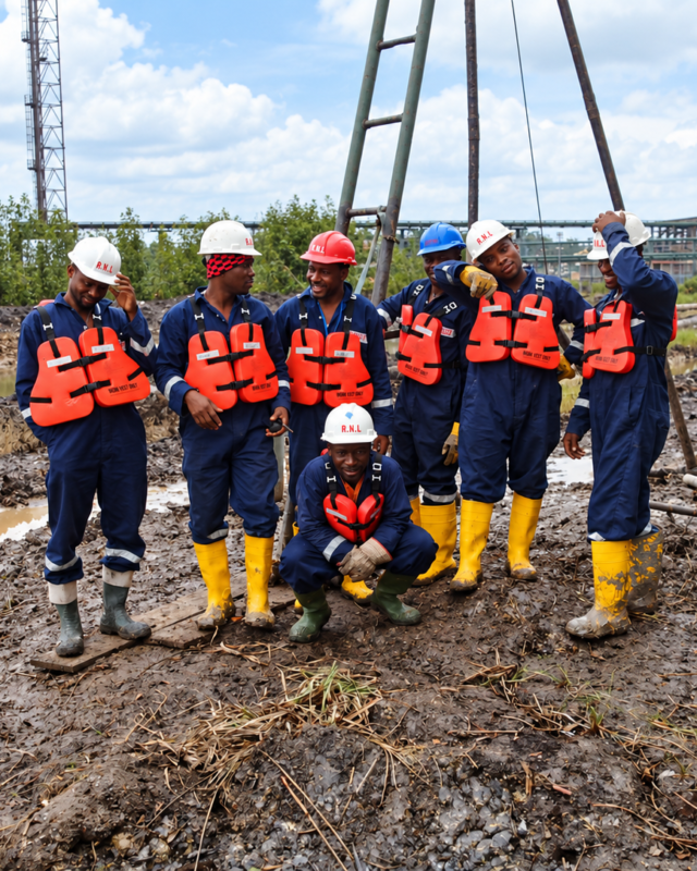
Total stations in swamp water, bathymetric boats on the creeks, and crews suited up for the terrain — this is what a survey day looks like for us.
Send us the terrain and the timeline and we'll scope the crew and instrumentation.