Equipment & capability

The instruments
behind every reading.

Precision survey equipment maintained and fielded from our Port Harcourt base — from total stations to hydrographic sounding gear.

Add a photo here — open this page in the WordPress dashboard and set a Featured Image.

On the shelf

What we survey with.

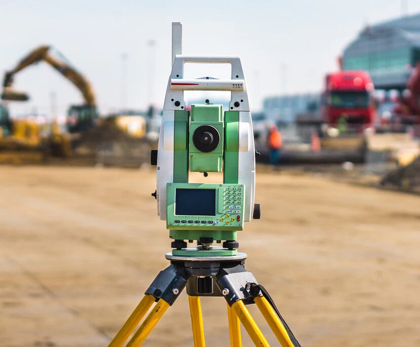
A working inventory of the core instrumentation our field crews carry — the same total stations, GPS units and hydrographic gear behind the projects on our record.

Field Accessories
Motorola Mag One walkie-talkie radios ×2
Reflector poles & prism reflectors multiple
Steel tape ×1
Tracking rods multiple
Tribrachs & spindles multiple
GPS & GNSS
Garmin GPSMAP 785 ×2
SR530 dual-frequency GPS receiver ×1
Thales Navigation ProMark GPS, with accessories ×3
Topcon GPS RTK set ×1
Topcon rover unit ×1
Hydrographic & Utility Detection
Digicat 100 cable & pipeline locator ×1
Digital underwater current meter ×1
Fathometer depth sounder (model DE-719B) ×1
Levels & Optical Instruments
Leica NA 824 automatic level, tripod & staff ×1
Leica Sprinter digital level, with accessories ×2
Total Stations
Kolida KTS442L total station, tripod, tracking rod & prism reflector ×1
Leica TCB total station, with accessories ×2
Leica TCR 307 total station, complete set ×2
Leica TCR 407 total station, complete set ×1
Wild T1 theodolite ×1

All field instrumentation is maintained and calibrated in-house, with crews trained on current survey methods and equipment as standard practice.

RC 1598237 — Corporate registration
SURCON №3559 — Registered surveyor
NIS — Full member, Nigerian Institution of Surveyors
MNMGS / COMEG — Geoscience & mining society memberships
Get in touch

Tell us the site, we'll tell you what it takes.

Whether it's a single land parcel or a 50km pipeline corridor, send us the terrain and the timeline and we'll scope the crew and instrumentation.

OfficeRukpokwu, Port Harcourt